admin
admin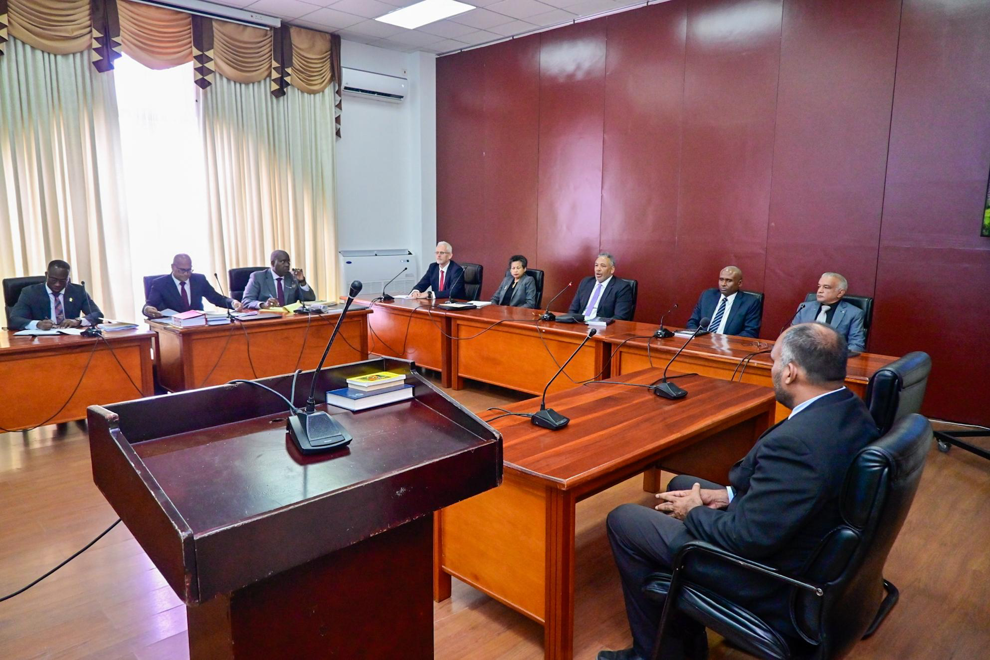
Maritime authorities were notified within five minutes of the first satellite distress alert linked to the MV Barima, the Commission of Inquiry into the tragedy heard on Wednesday.
But while the vessel’s emergency beacon transmitted its unique identification code, witnesses say the associated registration information did not identify the beacon as connected specifically to the MV Barima.
The distinction is between the beacon’s HEX code, the identifier carried in the distress alert, and the separate registration record containing information about the vessel, its owner and emergency contacts. According to the witnesses, the beacon was registered in the United States, but the record information did not link it specifically to the Barima.
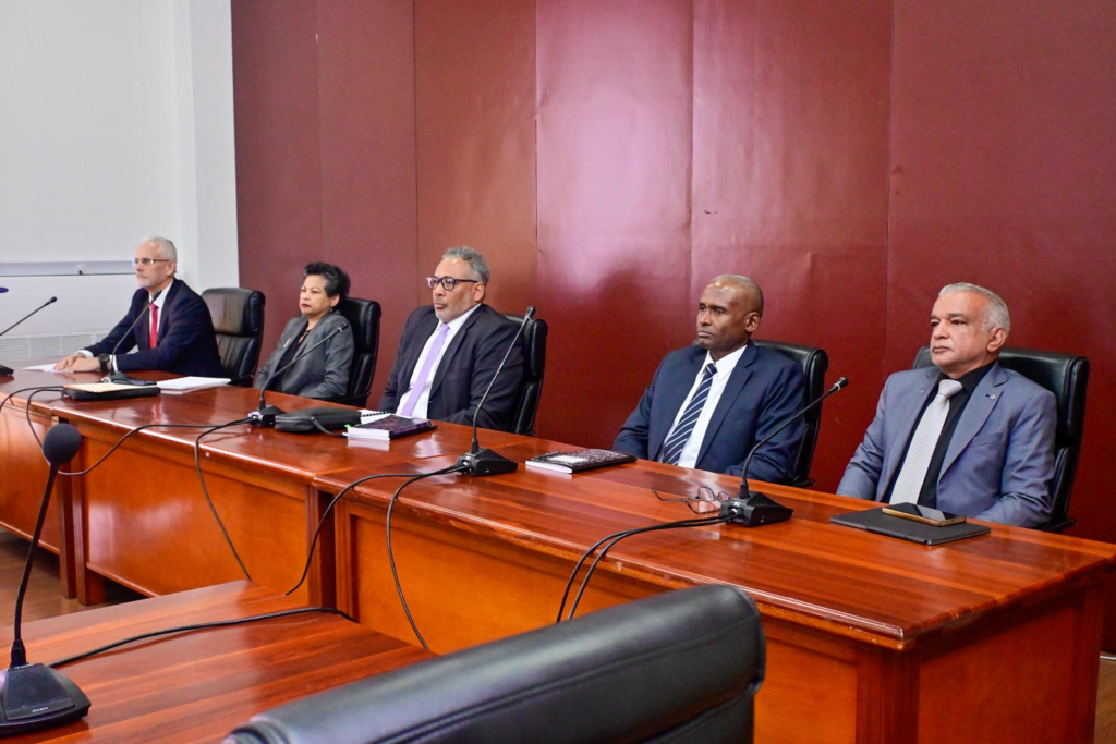
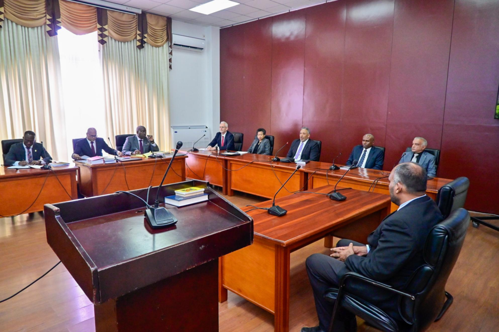
Director of Air Navigation Services at the Guyana Civil Aviation Authority, Rickford Samaroo, gave evidence as the first witness at the opening of the Commission’s substantive hearing.

He said staff subsequently advised him that the first satellite distress message arrived at 10:43 p.m. on July 18, with further messages received afterwards.
According to that briefing, the Maritime Administration Department, the Guyana Defence Force Coast Guard and the Lighthouse were notified within five minutes.
Samaroo himself learnt of the incident at around 1 a.m. on July 19, when the authority’s Director General called to inform him that a vessel might be in distress and that two aircraft had been authorised to investigate.
He explained that staff were required to notify him immediately of distress signals involving aircraft, but there was no equivalent requirement for alerts involving vessels.
When he contacted the Timehri Control Tower about the aircraft authorisation, he learnt that the distress messages had already been received.
Samaroo explained that Guyana receives satellite distress alerts through an arrangement with the United States Mission Control Centre based in Maryland, USA, and administered by the National Oceanic and Atmospheric Administration (NOAA).
The messages include the beacon’s identification code and geographical coordinates, which personnel can relay to emergency responders.
“It’s programmed to receive any signal on a 406 beacon and then process that signal, find out the location, geographical location that is, and then check its database and see who the rescue coordination centre is that’s located closest there and sends a message to them and continues to send messages once the beacon is transmitted,” Samaroo explained.
That clarification separates the beacon’s ability to transmit a distress signal and location information from the registration details needed to connect its identifier to a particular vessel.
The Commission requested the relevant standard operating procedures, an after-action report and the complete communications record, from the first alert through the close of operations on the afternoon of July 19.
The inquiry is examining the circumstances of the vessel’s capsizing and sinking, including the adequacy of search, rescue and recovery operations.